Economic Globalization
Big Data: Maritime Key Indicators
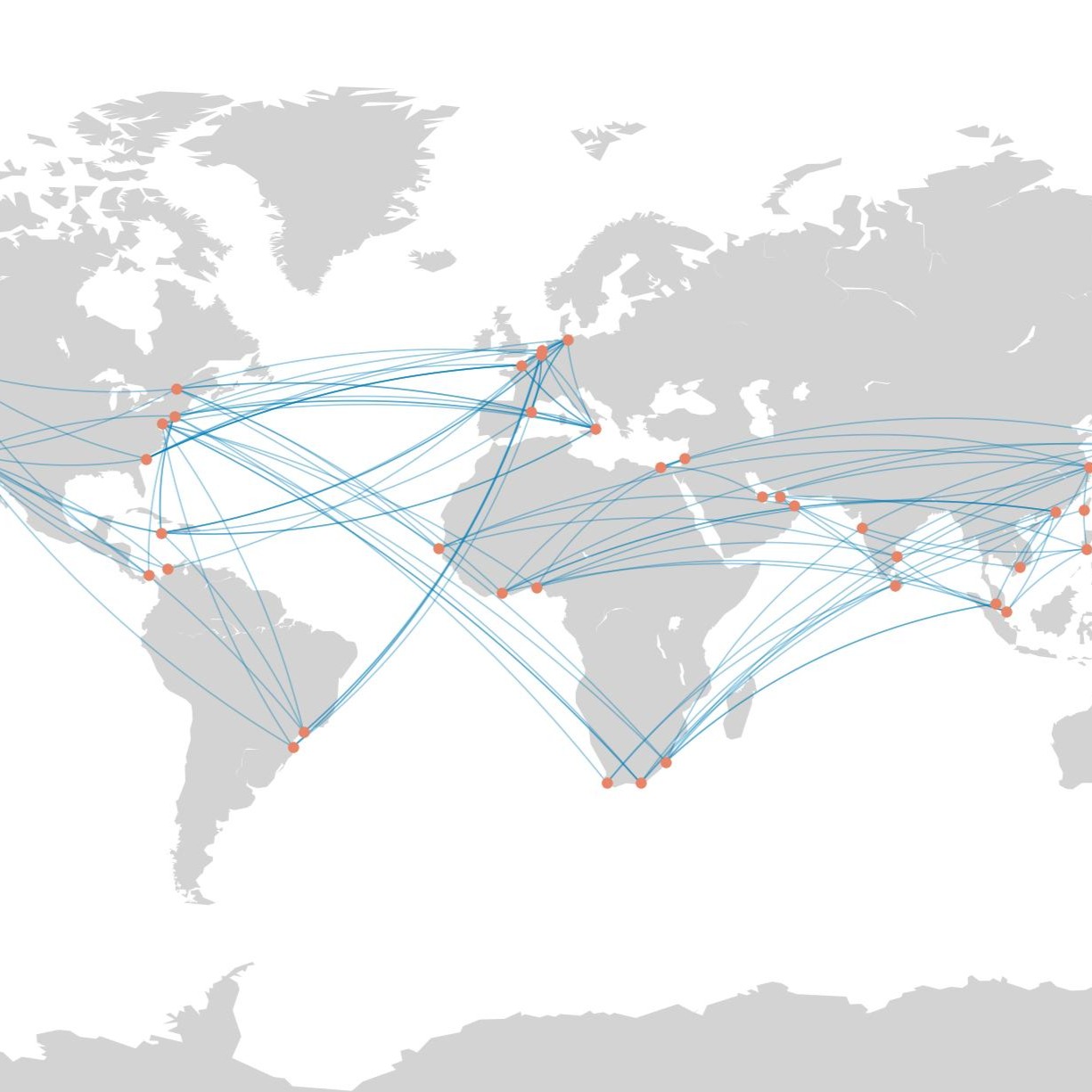
Big data is revolutionizing official statistics by providing timely insights that traditional methods often cannot deliver. This database showcases high-frequency maritime statistics derived from Automatic Identification System (AIS)--vessel tracking system used for navigation. With its high-frequency and granular location information for almost all vessels globally, AIS provides an alternative source of indicators to complement official statistics especially for economies with data gap.
The following tables present indicators on port activities for the Pacific island countries and global regional indicators on maritime highways. Indicators on port activities include count of unique vessels, count of arrivals, and median time spent in port, covering Cook Islands, Fiji, Kiribati, Marshall Islands, Micronesia, Federated States of, Nauru, Niue, Palau, Papua New Guinea, Samoa, Solomon Islands, Timor-Leste, Tonga, Tuvalu, and Vanuatu. Indicators on maritime highways include count of transits and median transit time for Suez Canal, Panama Canal, and other major trade passageways.
Notes:
1. Automatic Identification System data, and Ship Registry Dataset, and Big Data processing infrastructure are provided by the United Nations Global Platform for Official Statistics (https://officialstatistics.org/)
2. Port locations are from World Port Index (Pub 150) published by National Geospatial-Intelligence Agency (https://msi.nga.mil/Publications/WPI)
3. Port boundaries, port arrivals, and passageway transits are identified following the Methodological Framework for Unlocking Maritime Insights Using Automatic Identification System Data: A Special Supplement of Key Indicators for Asia and the Pacific 2023 by Asian Development Bank (http://dx.doi.org/10.22617/FLS230401-2)
About Key Indicators
ADB Publications
© 2024 Asian Development Bank. Terms of Use
ADB encourages websites and blogs to link to its web pages.

